Best Apps for Landscape Photographers
Best Apps for Landscape Photographers
The six tools I use almost daily to plan where and when to shoot
Having the right tools at your disposal can make all the difference in landscape photography. While a sharp eye and imagination are essential, the right apps can help you plan more effectively, work more efficiently, and ultimately get the shot you envisioned. I've compiled the six applications I use almost daily — whether I'm deciding where to go or figuring out when the light will be at its best.
1. PhotoPills: Plan Your Perfect Shot
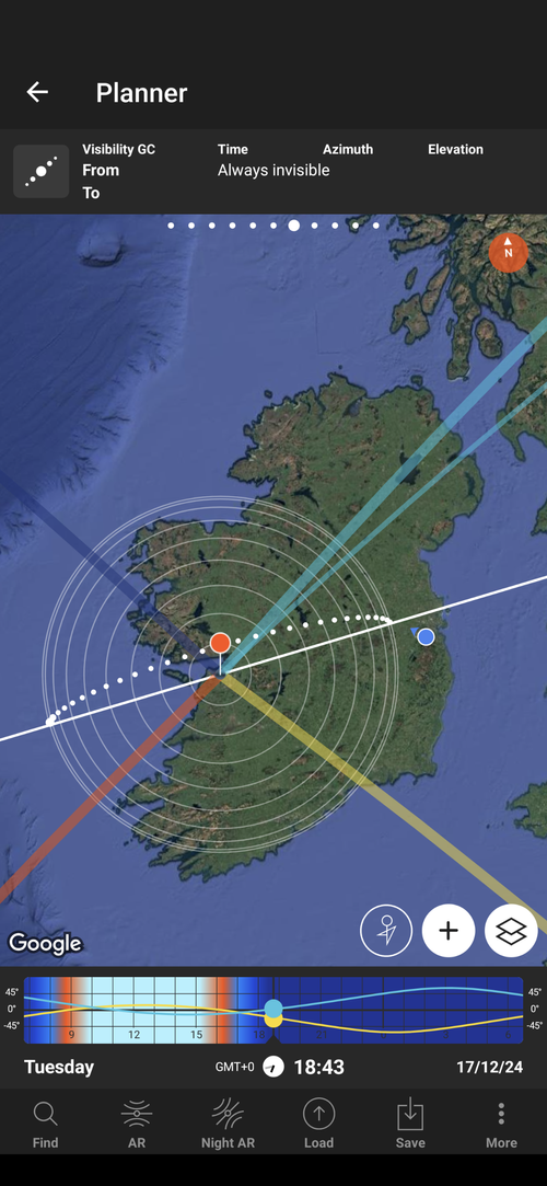
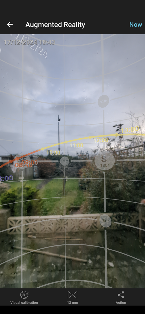
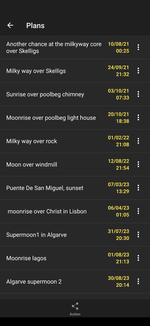
PhotoPills is genuinely the Swiss Army knife of photography apps, and it's beloved by landscape photographers worldwide for good reason. Whether you're carefully planning a sunrise shoot or pinpointing the exact position of the Milky Way, this immensely flexible app offers a wealth of practical tools that improve the experience at every skill level.

PhotoPills: the Swiss Army knife of landscape photography planning.
Key features:
- Sun and Moon planner: Determine golden hour, blue hour, and moon phases for any date and location.
- Milky Way planner: Pinpoint the best nights and angles for astrophotography.
- DOF and hyperfocal calculators: Ensure sharp focus throughout your scene.
2. Location Scout: Discover the Perfect Spot
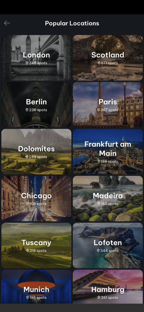
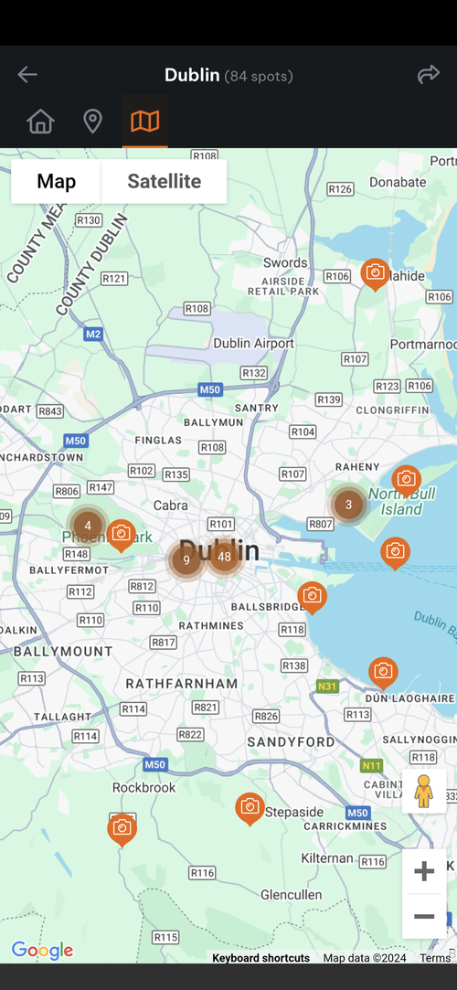
In landscape photography, location is everything — and Location Scout is an effective tool for finding remarkable places to shoot. By curating user-submitted photography locations complete with sample images and detailed information, this app lets you visualise potential shots before you ever leave the house. Whether you're searching for a quiet beach, a mountain viewpoint, or a hidden waterfall, Location Scout helps you find it.

How to use it:
- Browse the map or search by keywords for specific types of landscapes.
- Save locations to your favourites and organise your scouting trips.
- Check other photographers' tips and settings for inspiration.
Location Scout eliminates the guesswork, helping you focus more on your craft and less on logistics.
3. Clear Outside: Pinpoint Ideal Weather Conditions
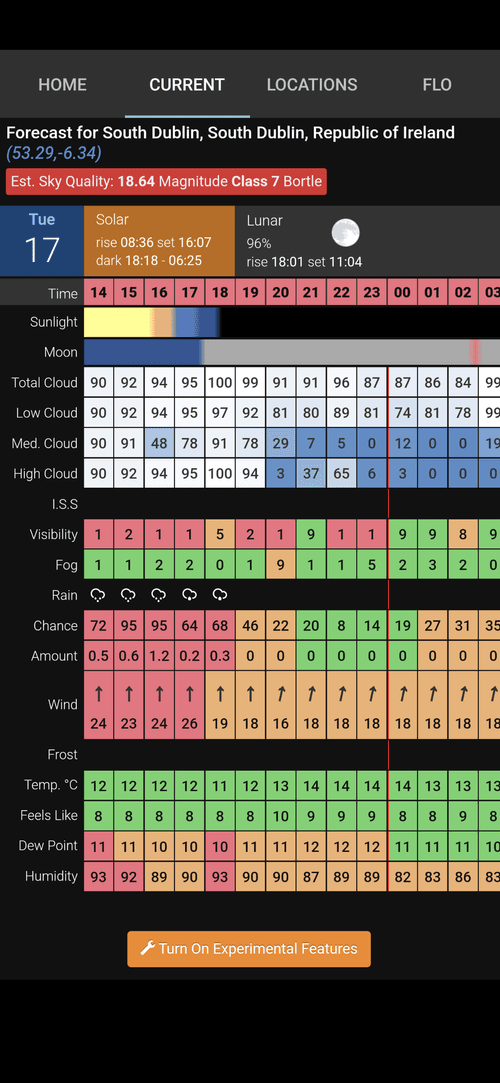
Every image we take is shaped by the weather, and Clear Outside is the app I reach for when I need detailed forecasts tailored specifically to a photographer's needs. Unlike standard weather apps that only give you a basic overview, Clear Outside provides useful insights on cloud cover, visibility, and even astronomical viewing conditions — so you know exactly what you're walking into.
What makes it unique:
- Cloud cover breakdown: See how much of the sky will be clear, broken down into low, medium, and high clouds.
- Sunrise and sunset times: Never miss the perfect light.
- Light pollution maps: Ideal for planning night photography sessions.
By providing hyper-localised forecasts, Clear Outside ensures you're always prepared — whether you're chasing a dramatic storm or waiting for a crystal-clear night sky.
4. Weather & Radar: Stay Ahead of Changing Conditions
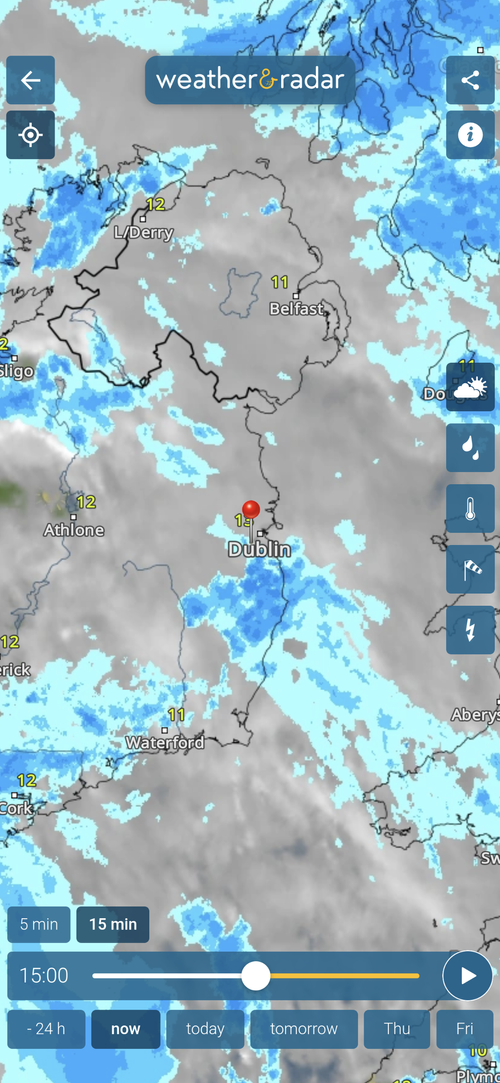
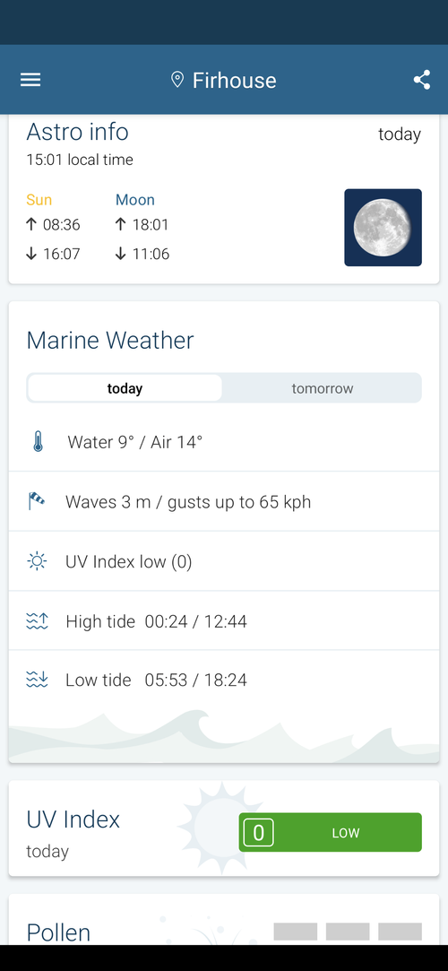
Weather & Radar is an essential app for precise radar tracking and real-time updates. It's especially useful when you're shooting in unpredictable conditions — it lets you adjust your plans on the fly to make sure you're in the right place when the light breaks. Staying informed about shifting weather patterns means you can maximise every outing, regardless of what the forecast initially suggested.

Features to love:
- Live radar maps: Track rain, snow, and wind patterns in real time.
- Hourly forecasts: Stay informed about weather changes throughout the day.
- Severe weather alerts: Receive timely warnings to stay safe in the field.
5. Google Earth: Visualise Your Scene Before You Arrive
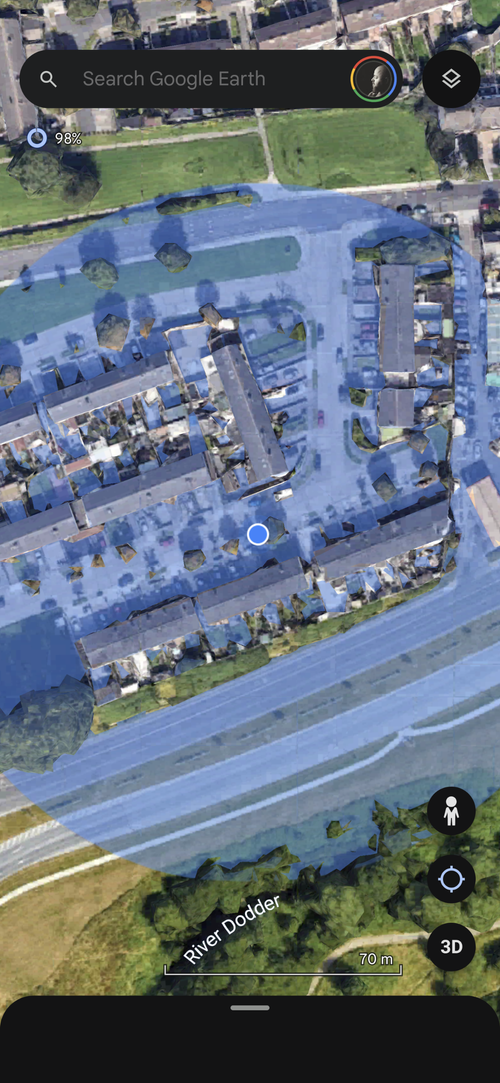
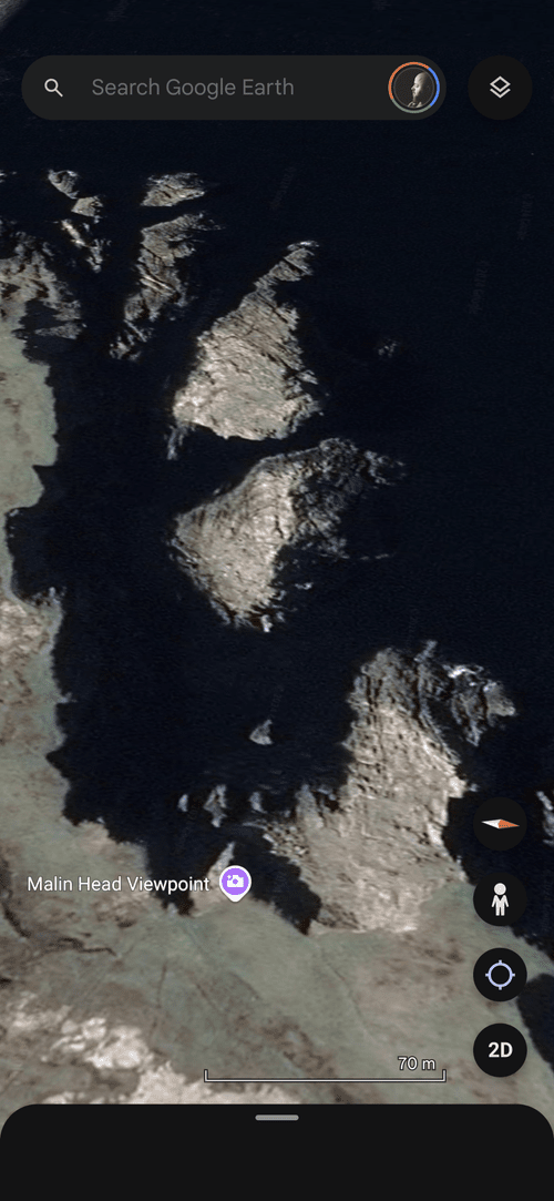
Google Earth isn't just for armchair travellers — it's a genuinely powerful tool for serious landscape photographers. Its 3D imaging and detailed topographical maps let you explore potential shooting locations in remarkable detail before you travel. I've spent countless hours scouting on Google Earth and have built a huge catalogue of potential photography locations around the world from the comfort of my own home.

How to use it:
- Scout vantage points and determine the best angles before you travel.
- Use the timeline slider to see how light and shadows interact with the landscape at different times of day.
- Mark locations and build a shot list for your trip.
Google Earth gives you a virtual head start, allowing you to approach each shoot with confidence and precision.
6. Light Pollution Map: Capture Stunning Nightscapes
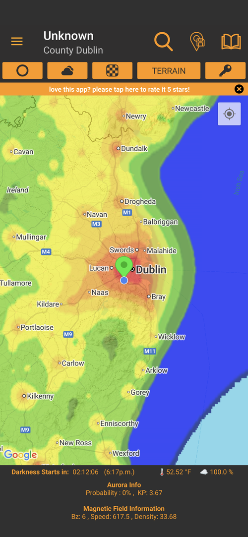
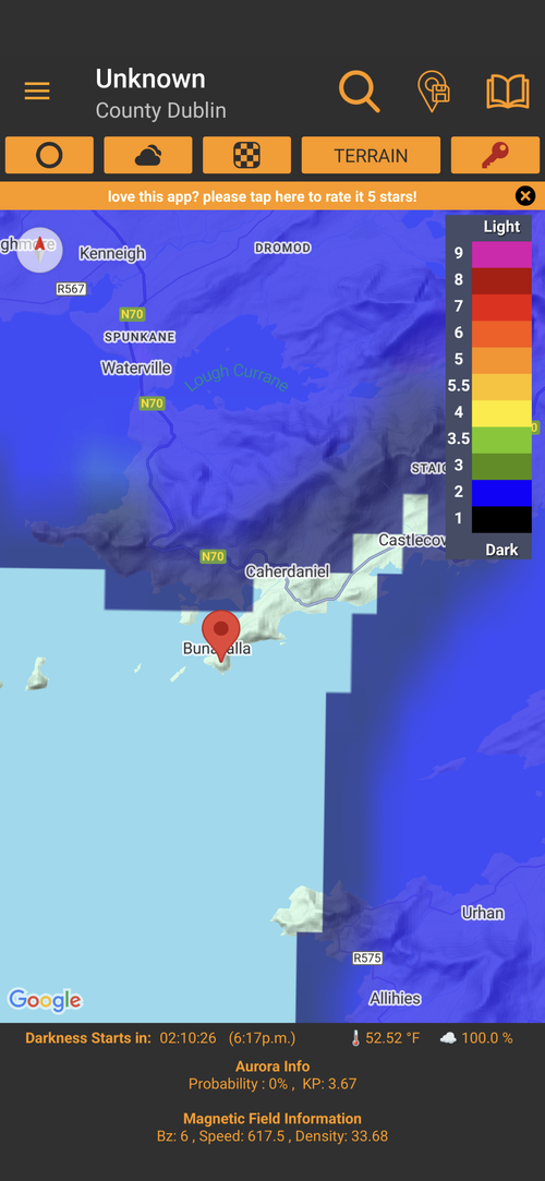
If you're serious about astrophotography, the Light Pollution Map is indispensable. It provides precise maps that highlight areas with minimal artificial light, helping you locate the darkest skies possible — exactly what you need for those star-filled images we all chase. It also integrates with weather forecasts so you can plan your night shoots with confidence.
Features that shine:
- Interactive light pollution map with customisable overlays.
- Tools to find Bortle scale ratings for any location on earth.
- Integration with weather forecasts for optimal night shoot planning.
With this app, you'll know exactly where to go for stunning night skies — no guessing, no wasted trips.
These six apps are more than just tools — they're companions that help you work smarter, not harder. By leveraging technology, you can spend less time worrying about logistics and more time immersed in the art of landscape photography. While each of these apps is useful on its own, it's when you integrate them together that you really start to see the benefits. Yes, there's a learning curve — but it's absolutely within your reach, and I can guarantee the effort pays off in the long run.
Do you use any of these tools? Or is there a method you'd recommend to other photographers exploring this topic? I'd love to hear about it.
